
Biking the French Mediterranean
Arrive in Marseille by plane and transfer to the Marseille train station by shuttle and regional train (about a 45 minute trip) or take the train directly to Marseille Saint-Charles. If you are bringing your bicycle on the train from Paris in a bike bag (housse) you can take a direct TGV and arrive at Marseille Saint-Charles in 3 hours; if you are bringing your bike assembled, you must change to a local train at Avignon and spend 6 hours in all.
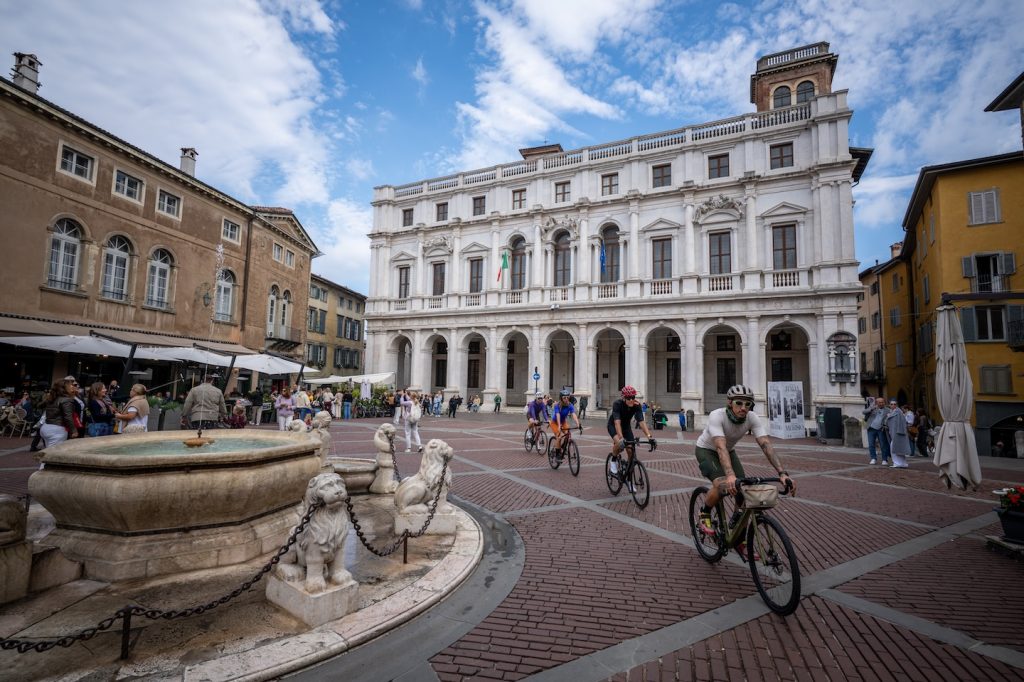
Allow one or two nights in Marseille to see the sights. I recommend the old port (Vieux Port) and the old town (vieille ville), for two. There are said to be some good museums, and the possibility of a boat trip to the Calanques or to visit the working port. Marseille is the third largest metropolitan area of France and the largest Mediterranean port (third largest port of Europe).
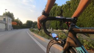
You have a choice of routes for leaving Marseille: the Rue de Rome or the Corniche President Kennedy. If you leave Marseille by the direct route to Cassis, you ride in bike lanes along the Rue de Rome, which changes its name to Avenue du Prado and then at a traffic circle (where Ave. du Prado turns sharply right), to the Boulevard Michelet.
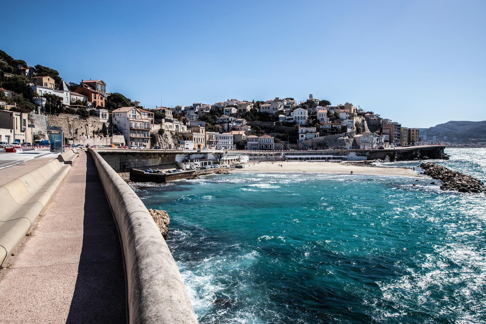
If you leave Marseille by the Corniche President Kennedy, which I recommend for its views of the Mediterranean and the Chateau d’If (where the Alexander Dumas’ Count of Monte Cristo was imprisoned), you will ride an additional 7 kilometers in light to moderate traffic. From the Old Port follow the corniches south along the Mediterranean as far as the Avenue du Prado (sign Park Borély).
Turn left, and turn right at the next intersection, which leads into the Park. Ride to the far end, exiting through the gate by the Chateau, or if it is closed, the gate up the stairs to the left of the chateau, behind the merry-go-round. Turn left and follow this road back alongside the park and continue until it ends. There, turn right and immediately left on Boulevard Barral. Turn right in one block onto the Boulevard Michelet (as in the first option) and continue following the signs for Cassis.
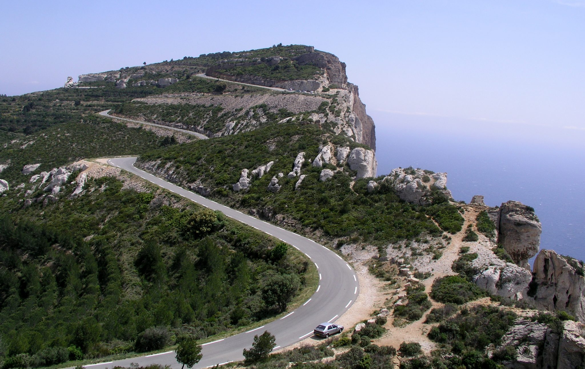
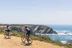
Heading East from Cassis, the Route de Crêtes makes for spectacular riding. The earlier in the morning you leave, the less traffic you will encounter: There is very little commercial traffic, and tourists normally don’t start getting on the road until 9:30. You have several choices leaving Cassis that all join. Some are steeper than others—so steep that many riders won’t be able to ride them. The least steep in the Rue de la Ciotat (D141). After the routes join, there is a hundred-meter-long stretch of road near the top that climbs at at 30 to 40 percent (really!). The total climb is about 300 meters (1,000 feet).
Once up on the top, I strongly recommend that you stop at the big parking area near the cliff edge, about 200 meters before where the road curves sharply to the left — just under 5 km out of Cassis. Lock your bicycle and walk out to the cliff edge at the back right corner of the parking area, then along the cliff to the left. The cliffs are the highest in France: 1,000 feet straight down to the sea. In the distance are Cassis and the calanques.
The east side of the Giens double peninsula, where hotels and villas are located, has a long ribbon of brown sand beaches, whereas the west side has a narrow ribbon of white sand beaches, and it is often described in promotional materials as a cyclist’s paradise. Between the two spits of land (tomolos) lie salt marshes, often with flamingos, especially in September. At the south end of the peninsula, four kilometers from the mainland, lies the town of Giens, with a rocky shoreline that has some coves with fishing boats and small pleasure craft moored in them, but no natural harbors.


